Coast-to-Coast Trail in sections: plan a shorter walk
Choose a shorter part of Singapore’s Coast-to-Coast Trail, plan your return and check current Ang Mo Kio diversions before following an older map.

To walk Singapore’s Coast-to-Coast Trail in sections, choose a part with an entrance and finish you can reach comfortably, then plan the journey home. Your first outing can stay within one checkpoint’s park. A longer checkpoint-to-checkpoint leg needs a separate check of the connecting paths and current diversions.
NParks describes the Coast-to-Coast Trail as a 36 km route from Jurong Lake Gardens in the west, through areas including Lornie Nature Corridor, to Coney Island in the northeast. That gives you the overall direction. It doesn’t set the distance you need to cover in one visit.
This is a researched planning guide based on official maps and visitor notices. It does not describe a field-surveyed walk or establish that every connecting path is currently open.
Choose between a park visit and a through-walk
If you want a short introduction, pick a checkpoint area and explore an open part of its park, returning to the same entrance. This lets you experience somewhere on the trail without needing to solve the next stretch of the journey. Be clear about the distinction: a walk around a checkpoint’s park is a visit along the trail, rather than completion of a whole trail leg.
If you want to make progress along the route over several outings, use the official trail guide (PDF) to select a particular connecting stretch. Identify the exact start and finish, including the paths between each checkpoint and your transport. Checkpoint numbers are useful meeting references; they don’t tell you how long the walk between them will take.
Allow for the whole outing when deciding whether a leg fits: getting to the entrance, walking, pauses and the journey home. If the exit depends on reaching another park, you need enough time and energy for that final approach too. Avoid dividing the trail’s total distance by its checkpoint count to estimate a section.
Start around Jurong Lake Gardens for a western visit
Checkpoint 1 is at Jurong Lake Gardens. For a first visit from the west, choose an open part of the gardens and a return entrance before adding any onward route towards Checkpoint 2 at Bukit Batok Nature Park.
Use the Jurong Lake Gardens website to check current notices and visitor information. For example, the toilet at Waterwall Court and Sunken Garden is currently closed for maintenance until further notice. If that facility matters to your plan, identify an alternative before setting off rather than relying on a saved map’s toilet symbol.
Keeping the outing within the gardens gives you a clear stopping point. You can decide on another day whether you want the longer connecting walk. Don’t add that distance simply because the next checkpoint appears on the same overview map.
Separate a Punggol outing from the Coney Island extension
In the northeast, the guide places Checkpoint 8 at Punggol Waterway Park and Checkpoint 9 at Coney Island Park. You can choose a waterway visit first; our Punggol Waterway walking guide helps you plan an outing centred on that park.
Treat continuing to Coney Island as a deliberate extension. Pick the entrance and the way home before committing to it. The Coney Island visitor information gives opening hours of 7am to 7pm, with the west entrance near Punggol Point Walk and the east entrance near Lorong Halus Wetland. Reaching the island is only one part of a plan that also needs an exit within opening hours.
NParks describes wheelchair and stroller access at the east and west ends, while warning that some interior terrain is rugged and unsuitable for people with mobility issues. An accessible entrance does not establish a suitable through-route across the island. If surface or step-free access affects your outing, check the particular paths you intend to use rather than extending a general park accessibility label to the whole journey.
Check Ang Mo Kio diversions before choosing a central leg
For a walk through Ang Mo Kio, read the current park connector notices alongside the older trail guide. The material notices concern different named places:
- Ang Mo Kio Avenue 6: a section of Ang Mo Kio Park Connector has been closed for North–South Corridor and MRT construction since 9 June 2024. The notice gives an expected completion of end 2028.
- The Avenue 5 and Avenue 6 junction: a connector section is diverted, with an interim path.
- Ang Mo Kio Town Garden West: the footpath within the construction area is closed and an interim path has been provided. The garden remains open.
Open the linked notice maps and match them to your intended stretch. Follow the current diversion signs on arrival. If you cannot establish a usable connection, choose another section or turn back; don’t invent a shortcut through a worksite or across a road.
Keep Town Garden West distinct from Bishan–Ang Mo Kio Park, which the trail guide names as Checkpoint 5. A broad checkpoint reference in a notice isn’t enough to decide which path is affected. Likewise, an expected construction completion date is a prompt to look for a reopening update, rather than proof that a path will reopen on that date.
Set the finish before leaving home
Once you have chosen a section, write down a plan you can explain to a companion:
- Name the entrance and finish. Use the actual gate, path junction or transport stop, rather than just a large park’s name.
- Check the connection. Match the official guide to current park and connector notices. Save the relevant map for reference.
- Plan both journeys. Check how you will reach the start and leave the finish. Keep a return option if you shorten the walk.
- Set a turnaround point. Allow time to get back or reach your planned exit before a park closes. Keep optional side visits separate.
Before setting off, also make the outdoor conditions check. Choose another outing if conditions or a closure make your selected stretch unsuitable. After the walk, note the entrance you used and where you actually finished. That gives the next section a useful starting point without turning today’s walk into a commitment to the full 36 km.
The accompanying image is AI-generated photorealistic editorial artwork of a Singapore-inspired neighbourhood park. It does not document the Coast-to-Coast Trail, a named checkpoint or current route access.
Related posts
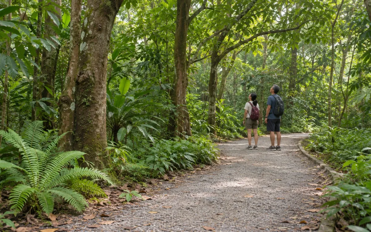
Your first nature walk in Singapore: start with one trail
Plan a first self-guided nature walk with a clear return, light packing and nature-area rules. Includes Hindhede’s current boardwalk entrance advice.
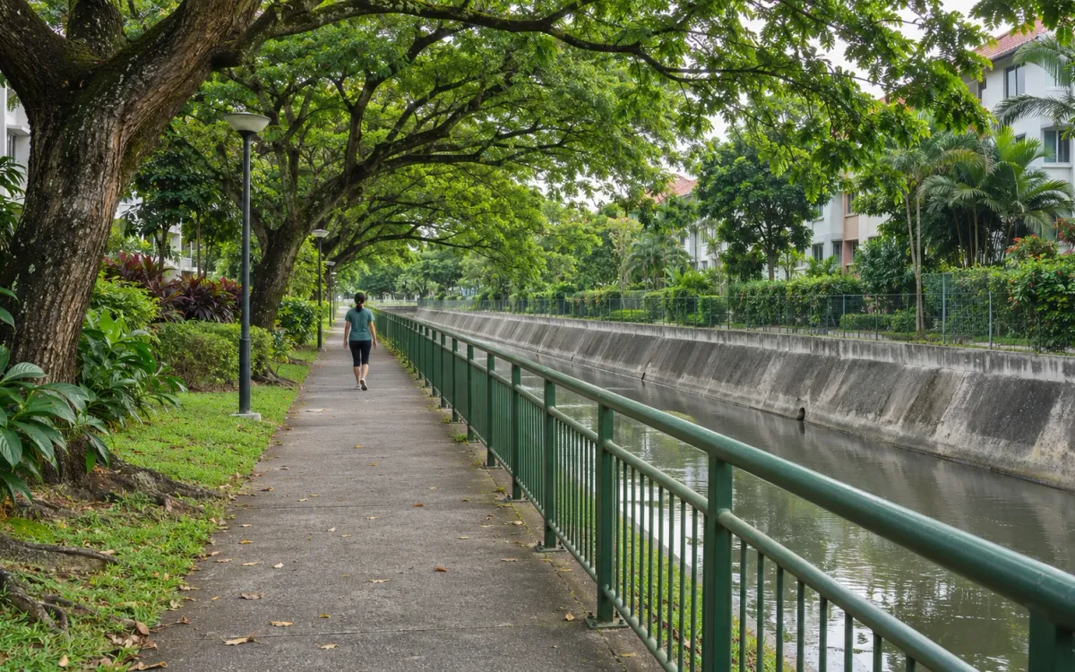
Siglap Park Connector: plan the walk towards Bedok
Understand what Siglap Park Connector links, the bridge without a ramp, current C4 approach works and why the reservoir circuit is a separate plan.
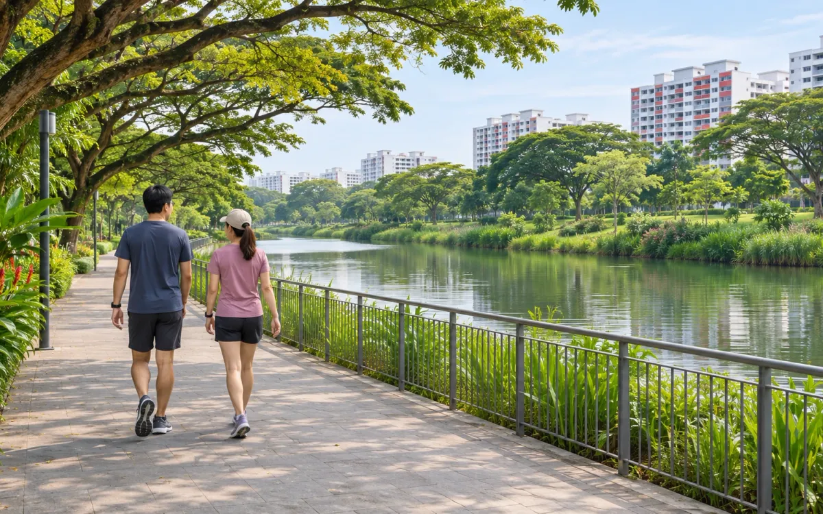
Punggol Waterway at your own pace: plan a shorter walk
Make a manageable Punggol Waterway outing with a clear arrival point, one place to explore and a return plan that fits the time you have.