Punggol Waterway at your own pace: plan a shorter walk
Make a manageable Punggol Waterway outing with a clear arrival point, one place to explore and a return plan that fits the time you have.
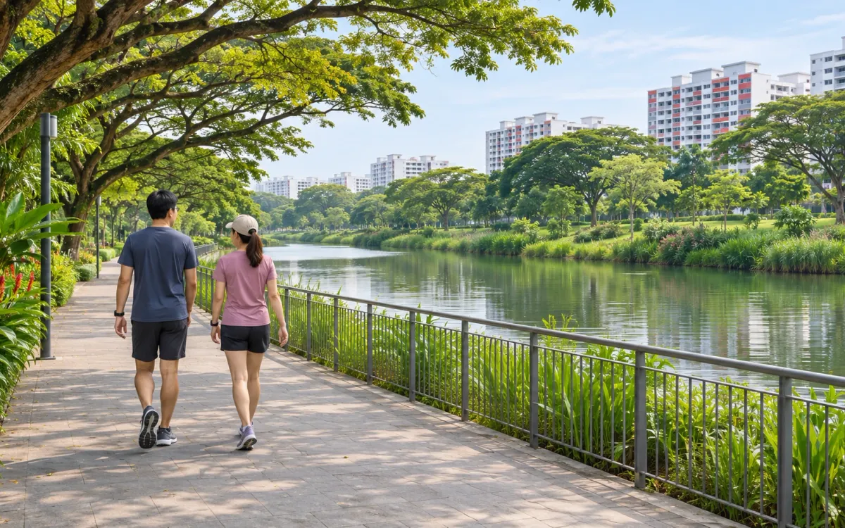
A walk beside Punggol Waterway can be a short outing. Choose where you will arrive, one thing you want to see and how you will return. The full length on a park connector listing is useful context, but it need not become your target for the day.
This is a suggested way to plan a visit using NParks’ information. It is not a route measured or surveyed on the ground.
Understand what the 8.4 km describes
The official Punggol Waterway connector page describes an 8.4 km track along the promenades on both sides of the waterway. Reading that as an 8.4 km straight walk from one end to the other would give you the wrong basis for planning.
For a short visit, start with an open section you can identify on arrival. Staying on one bank and returning along the same path can keep the plan easier to follow. Crossing a bridge is an option to assess when you reach it, rather than something you must do to complete the outing.
The return matters as much as the outward walk. If you have half an hour at the waterway, leave part of it for getting your bearings and finding the exit again. Turn back early enough to allow for stops or a slower return. That is a planning allowance, not a prediction of how far you will cover.
Be precise about where you are meeting
NParks places Punggol Waterway Park along Sentul Crescent and lists Damai LRT and Punggol MRT as nearby stations. It also lists Carparks A and B along Sentul Crescent, both with parking fees. Pick the arrival point that works for your journey and share its map pin with anyone meeting you.
“Meet at Punggol” leaves too much to guess. Punggol Waterway, Punggol Point and the named stretches of Punggol Promenade should not be treated as interchangeable destinations. Before leaving home, check the park name and the access point in your directions. A station being nearby does not tell you which exit or approach will suit your particular meeting point.
Save the place where you enter the promenade. If you decide to finish elsewhere, work out that exit and the onward journey before extending the walk.
Give the outing one purpose
Punggol Waterway Park has four themes: Nature Cove, Recreation Zone, Heritage Zone and Green Gallery. Use a feature that interests you to narrow the visit, rather than trying to cover all four at once.
For a relaxed catch-up, a stretch beside the water may be enough. NParks’ connector description notes benches along the waterway; take a break where there is space, leaving the path clear. Agree with your companion whether you are returning together or meeting again at the starting point before either person goes further.
If you enjoy local history, the park page identifies a preserved old Punggol Road bus stop and a 160 m section of the old road. It also explains that Kelong Bridge’s design recalls the area’s fishing-village history. Choose a landmark, check its position against your entrance and decide whether that approach fits your available time. These are possible visit focuses, not a promised continuous itinerary between every feature.
You can leave another section for a future outing. Remembering where you entered and what you enjoyed gives you a more useful starting point next time than finishing a distance you did not really want to walk.
Check the section you intend to use
Reopen the park page and current NParks park connector notices shortly before travelling, especially if you plan to continue onto a separately named promenade or connector. Follow barriers and diversion signs on site. A connection shown on a map does not settle its condition when you arrive.
The waterway park is listed as open 24 hours. That does not establish opening hours for neighbouring destinations or make every approach suitable after dark. For a first visit, choosing daylight makes it easier to identify the entrance, path signs and return point.
Bring drinking water and do the outdoor conditions check before setting off. On shared paths, leave room for other users and check around you before turning or stopping. If you need a step-free outing, confirm the particular entrance, crossings and any diversion rather than relying on a park-wide accessibility label.
When time, weather or energy changes the plan, return by the open path you know. The useful measure of this visit is whether you had an enjoyable stretch by the water and a straightforward way home.
The accompanying image is AI-generated photorealistic editorial artwork inspired by Singapore waterways. It does not document Punggol Waterway or verify a particular path, crossing or current access arrangement.
Related posts
Bishan–Ang Mo Kio Park on foot: choose a manageable walk
Choose a short walk at Bishan–Ang Mo Kio Park, with practical arrival options, current bridge diversions and the river warnings to understand.
A short East Coast Park run or walk
Plan a simple out-and-back from East Coast Park's Area D, with a clear turnaround, current access checks and room to adjust the outing.

Your first park connector outing in Singapore
Find a park connector near you, choose a manageable section and way home, and read shared-path markings before your first walk or run.