Siglap Park Connector: plan the walk towards Bedok
Understand what Siglap Park Connector links, the bridge without a ramp, current C4 approach works and why the reservoir circuit is a separate plan.
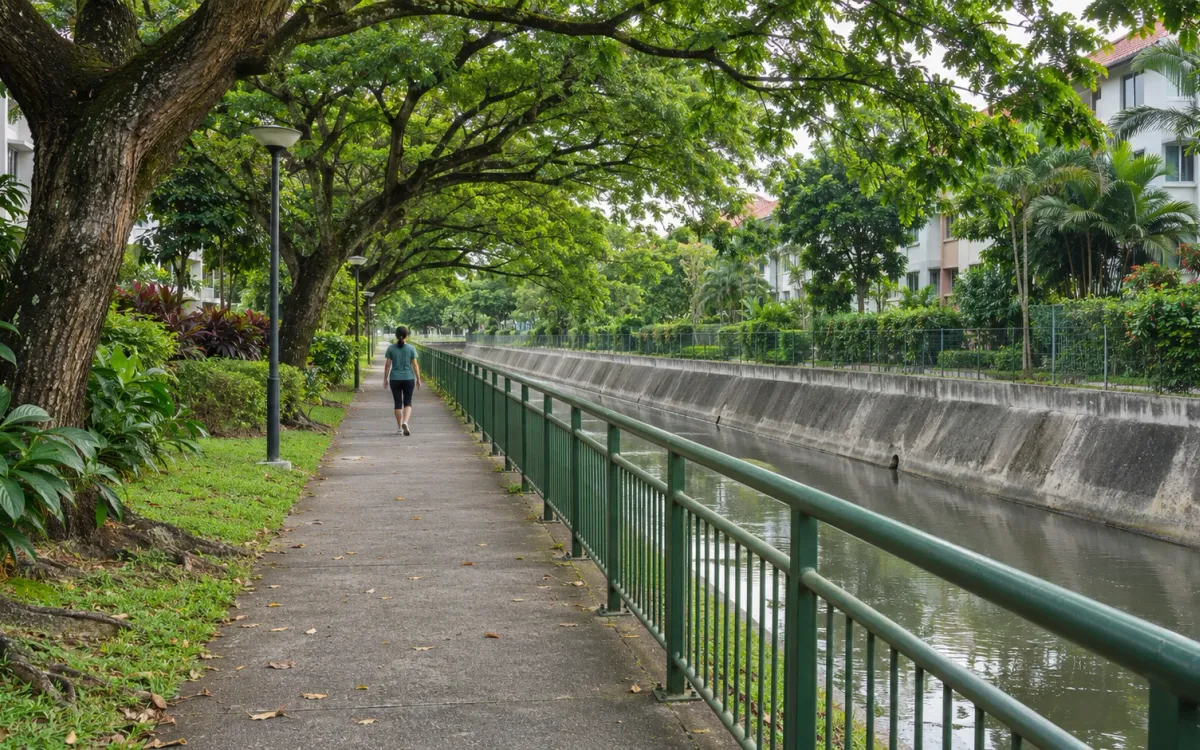
Siglap Park Connector offers a way to plan a walk inland from East Coast Park towards Bedok. Before choosing the whole route, check two details: the approach you intend to use at the coast and the bridge crossing at Bedok North Road. A connector’s name and published length do not tell you whether every part suits your outing.
This guide uses NParks’ route information and current notices. It is a planning overview, not a field-surveyed course or a promise of continuous step-free access.
Know what the route joins
NParks lists Siglap Park Connector as 7.6 km, starting at Area C4 in East Coast Park and ending at Bedok Reservoir Road. It runs partly beside Siglap Canal and housing estates, linking parks including Telok Kurau Park and Bedok Town Park.
The listed route crosses Marine Parade Road, East Coast Road, Changi Road, Sims Avenue East and Bedok North Road. Plan for the street environment as well as the park sections: follow the marked route and crossings, and leave time to stop and find your bearings. The listing is a geographical overview, not evidence that every crossing is open or has the same access arrangements today.
If you want to explore only part of it, choose a named park or a clearly identified connector access point as your meeting place. Share that precise point with anyone joining you. Decide whether you will return there or finish elsewhere before treating the route as a one-way outing.
The Bedok North Road bridge matters
NParks explicitly states that the overhead bridge across Bedok North Road has no ramp. Its note about cyclists pushing bicycles along the bridge’s side does not establish a step-free crossing for someone walking with a pushchair, using a wheelchair or avoiding stairs.
Make that decision before committing to a through-walk. If stairs do not fit your needs, choose a section whose arrival and return arrangements you can confirm, or seek current access guidance from NParks. Do not improvise a road-level crossing because a map appears to show a shorter way around.
For someone comfortable with the crossing, it is still worth allowing for a pause there. A published route distance alone cannot predict the time needed for your group, particularly when crossings and changes in level are involved.
Check the C4 approach before leaving
The East Coast Park page currently lists the footpath leading to Carpark C4 as closed for widening works from 14 September to 21 November 2026. That is relevant to a connector whose published coastal start is Area C4.
The notice does not, by itself, mean the entire connector or carpark is closed. It also does not verify a particular alternative approach. Check the updated notice and follow the access signs when you arrive. After the stated works period, confirm the actual position rather than assuming the footpath has reopened.
If you only want time by the sea, our short East Coast Park outing is a separate idea centred on Area D. Check that area’s current notices too; moving to another part of a large park is not an automatic solution to access works.
Choose a section that has a workable finish
An inland meeting point can make sense if that is easier for you to reach than the coast. Use the official route information to locate the park or junction you mean, then check the approach from your actual transport stop. Naming Telok Kurau Park or Bedok Town Park gives a friend a better starting reference than saying you will meet “somewhere along Siglap”. It does not confirm every entrance or connecting path.
Before extending a walk, check the current PCN notices for the connector you will join. Bedok Park Connector has its own works notices; it is a separately named route, so neither its closure details nor the absence of a Siglap notice should be read as a verdict on every path in the area.
Keep a return option that works if a crossing, diversion or the weather changes your plan. Do the outdoor conditions check before setting off, and bring drinking water. A shorter section with a clear way home can be a complete outing.
Keep the reservoir circuit optional
Reaching Bedok Reservoir Road is different from walking around the reservoir. NParks describes the Bedok Reservoir Park track as a 4.3 km gravel loop. Treat that as an additional plan with its own time and surface considerations, rather than assuming it is included in the connector’s advertised length.
Choose the part you want to walk first, check the approach and crossing that could limit it, then arrange the finish. You can explore the reservoir on another visit without making this outing incomplete.
The accompanying image is AI-generated photorealistic editorial artwork inspired by Singapore’s neighbourhood connectors. It does not document Siglap Park Connector, the Bedok North Road bridge or current access conditions.
Related posts

Punggol Waterway at your own pace: plan a shorter walk
Make a manageable Punggol Waterway outing with a clear arrival point, one place to explore and a return plan that fits the time you have.

Bishan–Ang Mo Kio Park on foot: choose a manageable walk
Choose a short walk at Bishan–Ang Mo Kio Park, with practical arrival options, current bridge diversions and the river warnings to understand.

An evening walk or run after work, without a late finish
Plan an after-work walk or easy run in Singapore with a clear finish time, a suitable lit route and a way home if conditions change.