Your first park connector outing in Singapore
Find a park connector near you, choose a manageable section and way home, and read shared-path markings before your first walk or run.

A park connector can make an ordinary walk feel like a small outing. The tricky part is often deciding where to begin. A line on a map may carry on for kilometres, while you only have half an hour and need an easy way home.
For a first visit, plan one section. You can explore the rest another day.
Pick a start you can actually reach
Open the NParks park connector directory and look for a connector near your home, workplace or a familiar transport stop. Read the individual listing to see what it links. Then check how you will get to one end and leave from the other. The name of a connector alone does not tell you where its convenient entrances are.
If you want a walk with the fewest decisions, choose an entrance you know and go out and back. Set a turnaround time before you start: for a 30-minute outing, turning back after roughly 15 minutes leaves room to return without needing to find a second exit. This is a planning example, not a target pace or a claim about any particular path.
Save the directory page on your phone. If you intend to finish elsewhere, identify a practical exit and public transport option before setting off. Do not count on an unfamiliar side path to lead somewhere useful.
Check the notice before the map
Read the current NParks connector notices for the area on the day you go. Maintenance, diversions and closures can change how a route works. An old map or a friend’s photograph may still show a path that is temporarily unavailable. Follow onsite signs, and be willing to turn back if the route changes.
Also make a quick conditions check before leaving. A short connector outing is still outdoors, and a comfortable plan can become less appealing in heavy rain or heat.
Read the path under your feet
NParks describes shared paths, separated paths and attention zones. On a shared path, people walking, running and riding may use the same space. Some connectors have separate footpaths and cycling paths. At certain points, those paths merge into attention zones, marked with red dotted lines. These often occur near crossings, bus stops or facilities.
Do not assume every connector uses the same markings throughout. NParks is piloting revised pedestrian-only and shared-path markings on selected stretches. Follow the signs and ground imprints where you are, keep to your designated path and leave room for people coming the other way.
If you are walking or running, a glance behind you before changing direction helps. Slow down around a busy crossing or blind bend, and give others space rather than weaving past. NParks’ safe-use guidance also asks people riding to slow down and give way in crowded or narrow areas and attention zones. Courtesy is a shared job, even when one user has priority.
Keep the first outing easy to repeat
Notice three things as you go: the entrance you used, a clear point to turn around, and the nearest sensible exit if you need to stop early. That is enough information to make the next visit easier. You do not need to complete a whole named connector or join several together on day one.
If you later want a longer route, use the general Singapore route guide to compare other parks and paths. Build from a section you enjoyed instead of treating the full network as a checklist.
Sources
- NParks: Explore park connectors
- NParks: Park connector notices
- NParks: Types of paths
- NParks: Using routes and trails safely
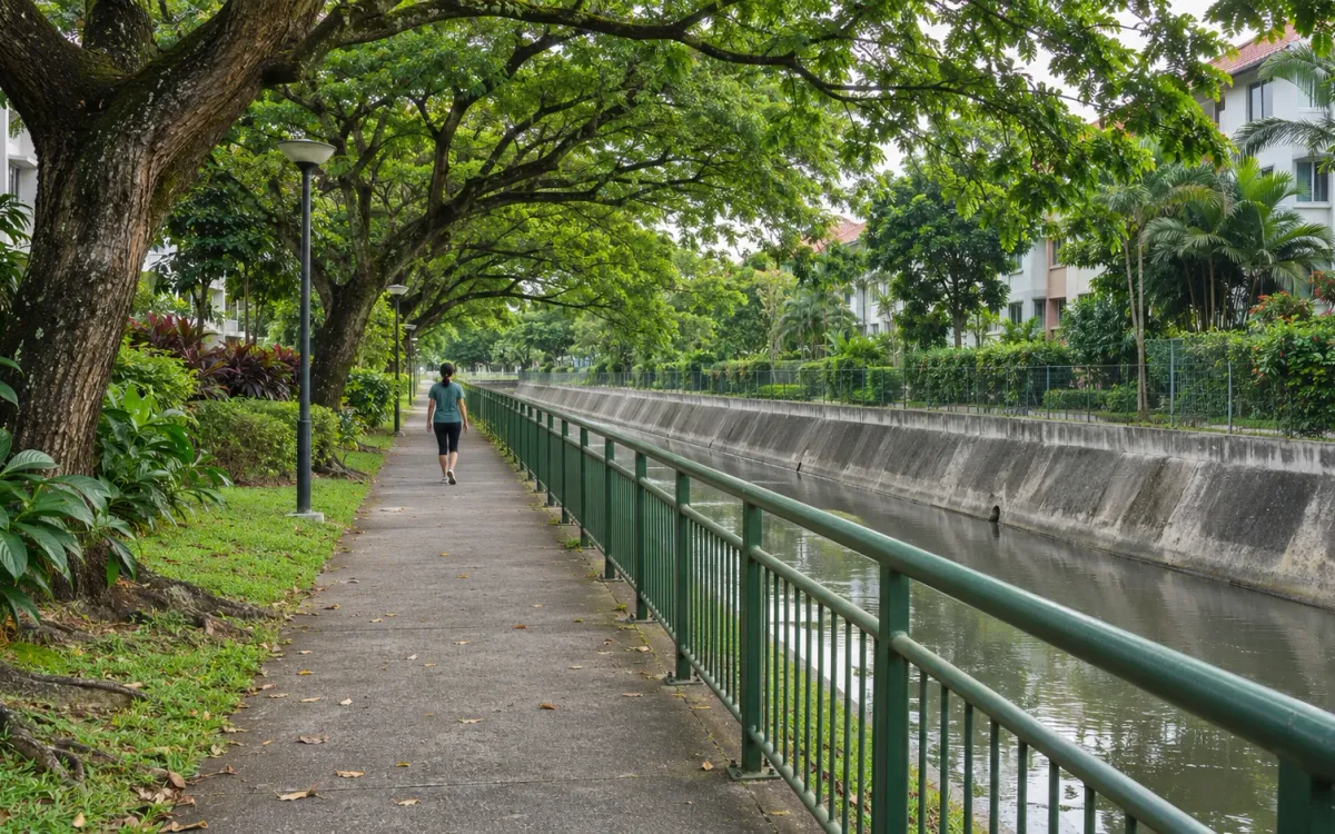
Sources checked on 12 October 2026. The accompanying image is an AI-generated editorial illustration, not a photograph or access guide to a named connector.
Related posts
Your first nature walk in Singapore: start with one trail
Plan a first self-guided nature walk with a clear return, light packing and nature-area rules. Includes Hindhede’s current boardwalk entrance advice.
Siglap Park Connector: plan the walk towards Bedok
Understand what Siglap Park Connector links, the bridge without a ramp, current C4 approach works and why the reservoir circuit is a separate plan.

Punggol Waterway at your own pace: plan a shorter walk
Make a manageable Punggol Waterway outing with a clear arrival point, one place to explore and a return plan that fits the time you have.